NAZCA PROJECT
THE LABYRINTH OF THE WORLD
Geophysical Research
Project 2028: geophysical research and remote sensing of the Nazca lines
Our experience in Nazca (1982–1985)
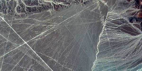
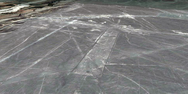
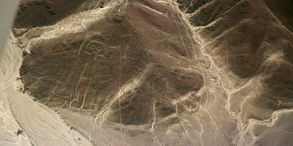
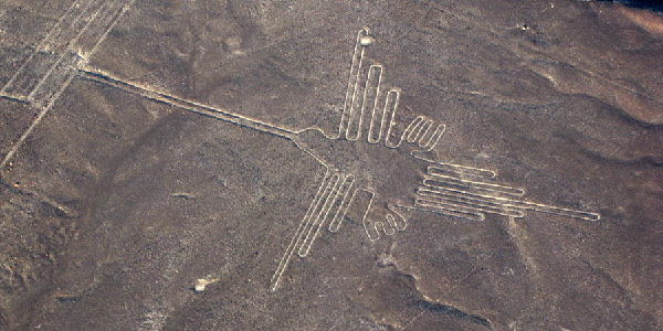
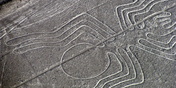
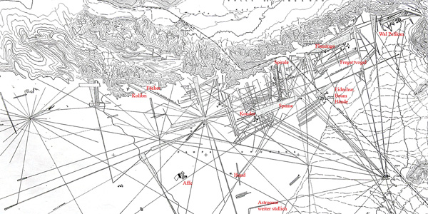
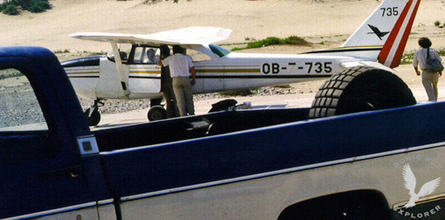
Between 1982 and 1985, Anselm Pi Rambla flew over Nazca regularly for almost three years with the airline Aerocóndor, from the airport of Ica, and analysed from the air all the lines from Palpa to Nazca and towards the Pacific Ocean. Those flights led to observations that had not been published at the time: some lines reached the sea, and figures such as the star of San Javier could already be seen from the air before one of the Aerocóndor pilots made it public.
The conclusion of that stage was that the astronomical interpretations, such as that of María Reiche, did not explain the whole: the lines seemed to be related more to the subsoil than to the stars. That was our last analysis of the lines; the Nazca Project 2028 takes up the research where it stopped.
Project 2028: what we want to find out
The Nazca Project will begin in 2028. It is not yet a set of results, but a research plan to put to the test the hypothesis that emerged from those flights, always with the authorisation of Peru's Ministry of Culture.
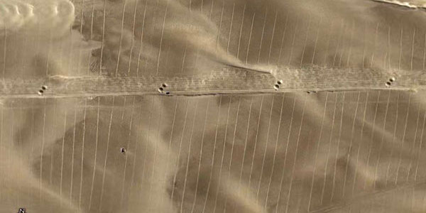
1. Lines over lines. Many lines run over older ones, barely visible, that point in other directions. Which came first, and did the orientation of the lines change over time? Method: high-resolution drone photogrammetry to map every superposition.
2. Lines that reach the sea. From the air we saw lines that reach the coast, and others that have not yet been documented. Method: systematic aerial survey and satellite imagery from Paracas to beyond Nazca, reporting every find to the Ministry of Culture.
3. A relationship with the subsoil? This is our main hypothesis. At the ends and crossings of selected lines we will look for buried structures or other anomalies underground. Method: ground-penetrating radar, which detects spaces and structures in the subsoil without excavating.
4. Or with the sky? To compare the two ideas fairly, we will measure the orientation of each line and compare it with the sunrise and sunset at the solstices and with the rising of the brightest stars, as we have done at the Koricancha and at the Candelabro of Paracas. The data will decide which explanation fits better. Method: archaeoastronomy with precise topography and the real profile of the horizon.
Recent discoveries by other researchers: the “Estrellas” of Nazca
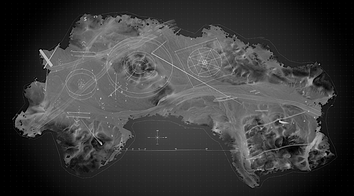
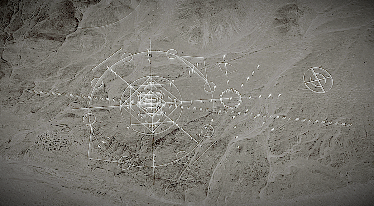
In recent years, independent researchers have documented geoglyphs with star-shaped geometric patterns on the Nazca plateau, different from the classic lines. We show them here as context for our project; the credit belongs to their authors.