“
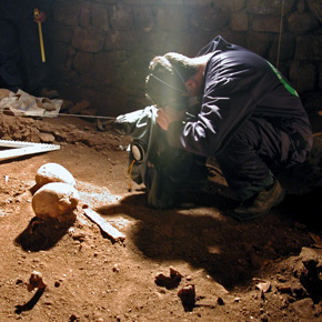
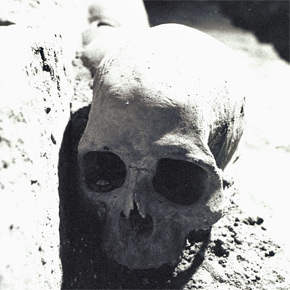
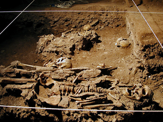
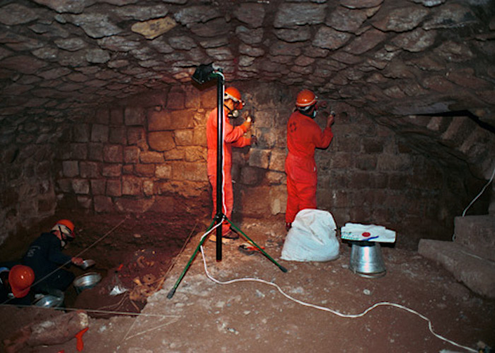
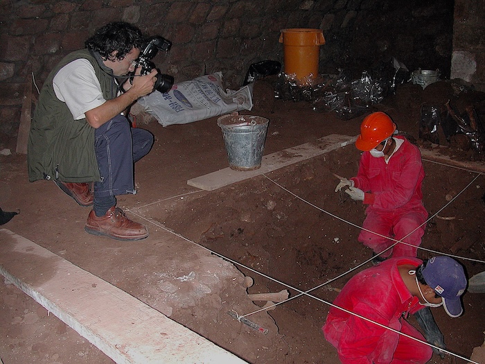
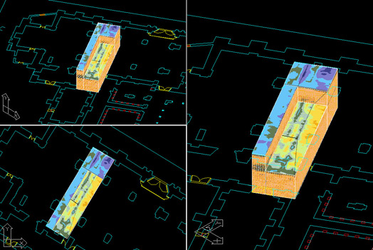
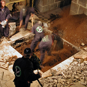
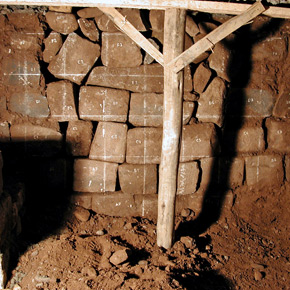
Upon excavating in this area, a 17th-century crypt was discovered, as Kubler had confirmed in his reports. When the Dominican fathers were asked how it came to be that this area was closed off with marble slabs, their response was that they were unaware of the reasons for its closure and who ordered it to be covered.On March 15, 2001, after systematically marking and removing the marble slabs from the church floor, excavation proceeded beneath the reinforced concrete slab, revealing a staircase with ten steps leading to the crypt.On March 30, the crypt was opened with great caution as toxic gases (methane) were detected inside and the possibility of the presence of pathogens. The material of stones and mud that sealed the entrance was removed. Subsequently, the Bohic Ruz exploration team entered with special suits to conduct the initial analysis of the contaminating agents.Within the crypt, a large amount of disordered human bones were found, indicating that the site had been previously desecrated; probably by people who entered during the temple restoration work in the 1950s. The looting resulted in the total disturbance of the bodies located on this first level, as well as the alderwood funeral boxes which were also destroyed by those who entered the site.In the lower levels, a burial pattern of skeletons lying on their backs appeared, typical of the Christian faith, which suggests burials from the 17th, 18th and 19th centuries. They were associated with grave goods of silks of Spanish design and two crucifixes of white and yellow metal, rosary offerings to the dead, a custom that arrived with the evangelisation of the 16th century. The excavation inside reached an average depth of 1.80 meters. The excavation process was meticulously recorded throughout its sequence of work, including the corresponding excavation sheets.
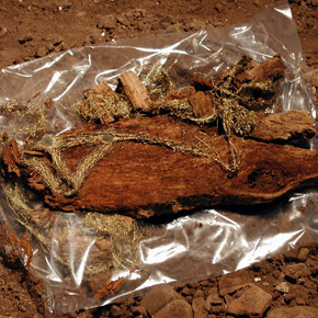
Findings. Three Christian crucifixes were recovered, from the rosaries offered to the dead at their burial, together with numerous fragments of fabric: among them, fringes that were possibly part of the chasubles worn by priests to celebrate Mass, woven with gold and silver threads in weft and warp. More than thirty samples of fabrics and silks, probably made in Spain, were collected from some of the bodies. Nails forged with sledgehammer and anvil, following the Spanish smithing technique, also appeared, as well as fragments of saddlery and shoemaking, such as horse muzzles and leather boot tongues.